- Wetland, wildlife, and natural resource assessments
- Invasive species monitoring
- Culvert, driveway, road, sidewalk, utility layout and signage inventories
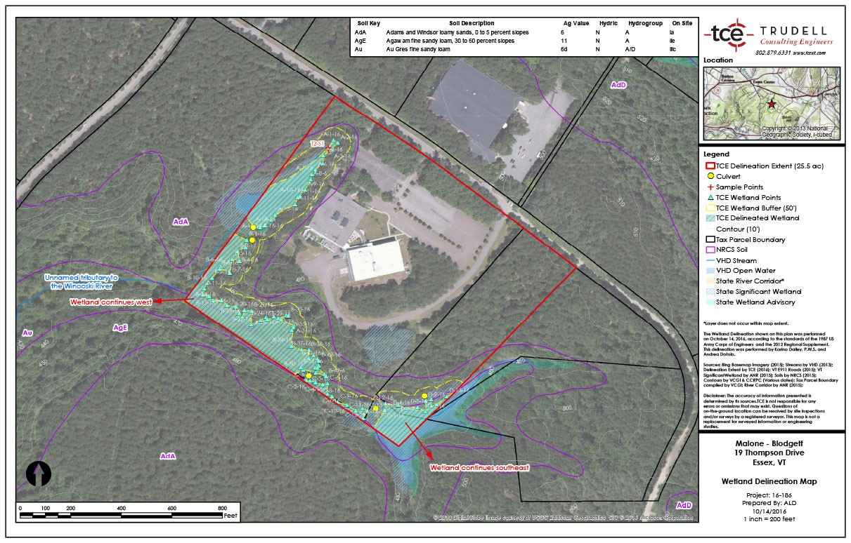
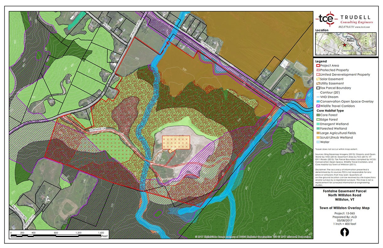
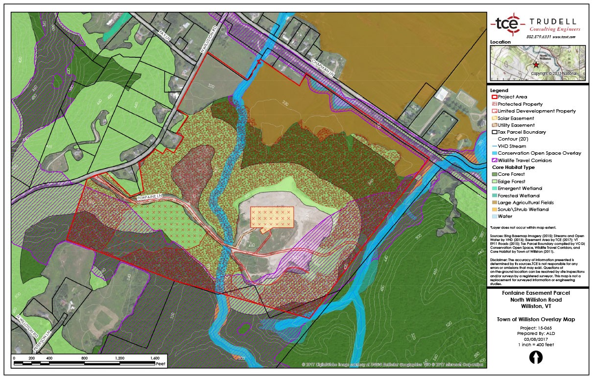
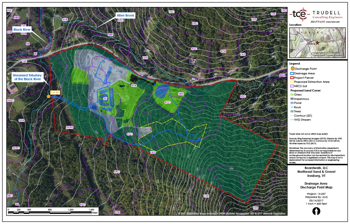
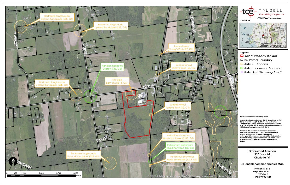
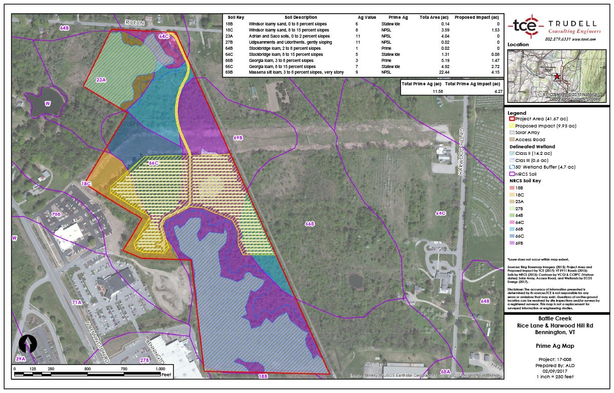
TCE provides Geographic Information Systems (GIS) services to provide our clients with geospatial tools that inform decision making. With our state-of-the-art GPS hardware, coupled with GIS information, we are able to prepare clear visual representations of large sets of data.
GPS Data Collection
Land Cover Mapping
- Natural resource maps
- Flood maps
- Zoning analysis maps
Utilities Inventory Mapping
- Maintenance of utility information for municipalities
Spatial Analysis
- Slope analysis
- Visibility studies
- Spatial statistics
- Geocoding
- Watershed delineations
- Querying
- Linear referencing
- Raster analysis
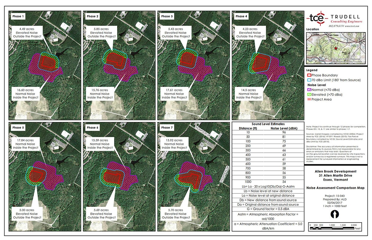
- Noise assessment
Field data collection
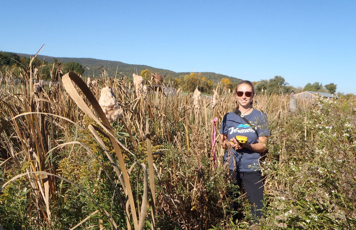
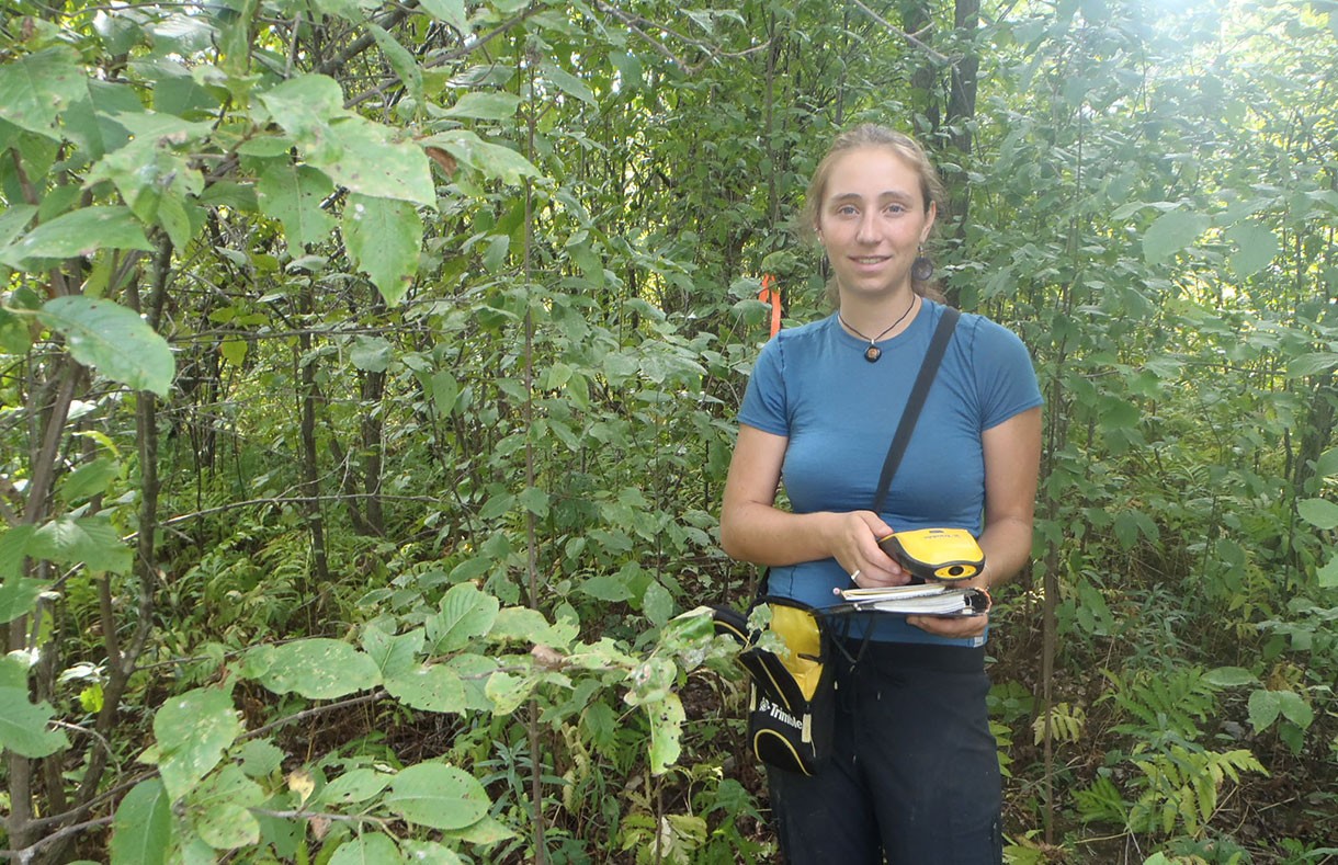
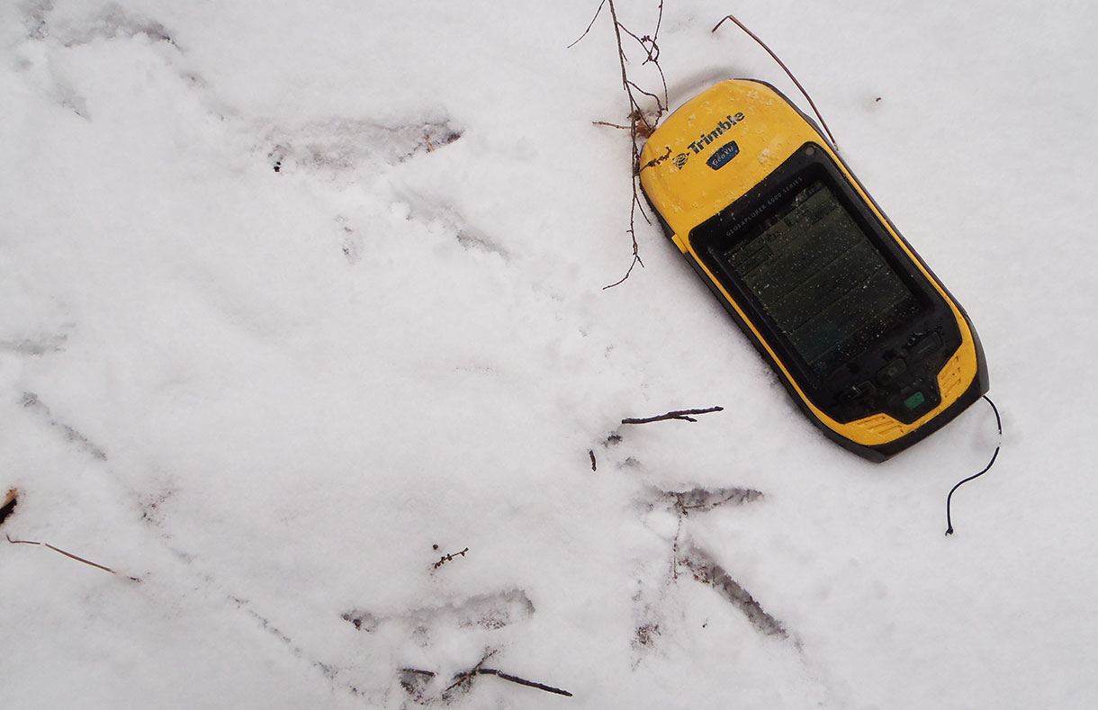
- TCE’s Trimble GPS unit collects data with sub-meter accuracy and can store location information, photos, and other attribute information critical for meaningful analysis.
Site layout maps
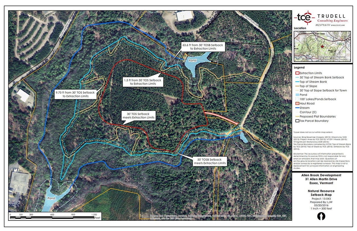
- TCE’s GIS-based maps provide clear representation of critical project elements, like natural resources, zoning boundaries, and steep slope areas. These are particularly useful for presentations at public hearings.
Tell Us About Your GIS Needs
Contact Trudell Consulting Engineers today about your next project.
Our team looks forward to solving the challenges that projects often face in Vermont.

