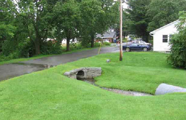
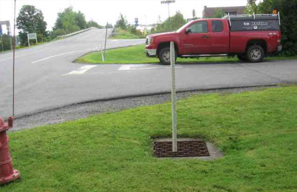
TCE utilizes several different technologies to perform topographic surveys and building base maps and existing conditions plans.
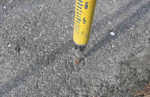
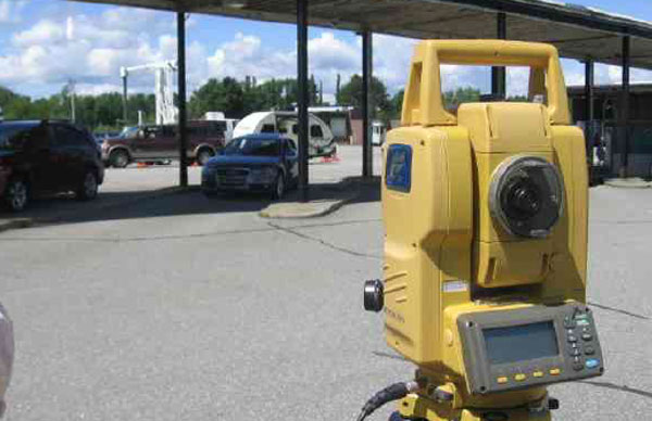
These technologies include some of the latest forms of surveying including GNSS/GPS survey grade equipment, GPS mapping grade equipment, UAV (Drone) surveys and we still utilize the old fashioned total station and surveyors rod as well.
All of our surveys are referenced to Vermont State Plane Coordinates and the North American Vertical Datum (1988), which allows us to overlay published mapping data current and historic orthophotographic imagery provided by local and state agencies.

